Up in the hills of Ichihara, Chiba, there's a cliff with a piece of Earth's history embedded in it. Chibanian — the layer where the planet's magnetic field had flipped from today's, exposed in such clean form that in 2020 the International Union of Geological Sciences picked it as the global standard reference for that boundary in geologic time.
I'd been curious for a while but never quite made the trip. On a clear day in November, I took the bike out.
The road to Chibanian: a wild boar, and a butchering scene
Riding through the mountain roads of Ichihara, a heavy crashing sound came from the bushes. I turned my head — a wild boar was about to cross the road. It ran on through, but it had been only two or three meters away. Get rammed by one of those, on a motorcycle, and there's no winning. I sat there with the engine on for a while, waiting until it was completely out of sight before moving again.
A bit further on, an older man was butchering a wild boar at the side of the road. Apparently not unusual in the hills of Chiba — but for a first-time viewer, it was striking.
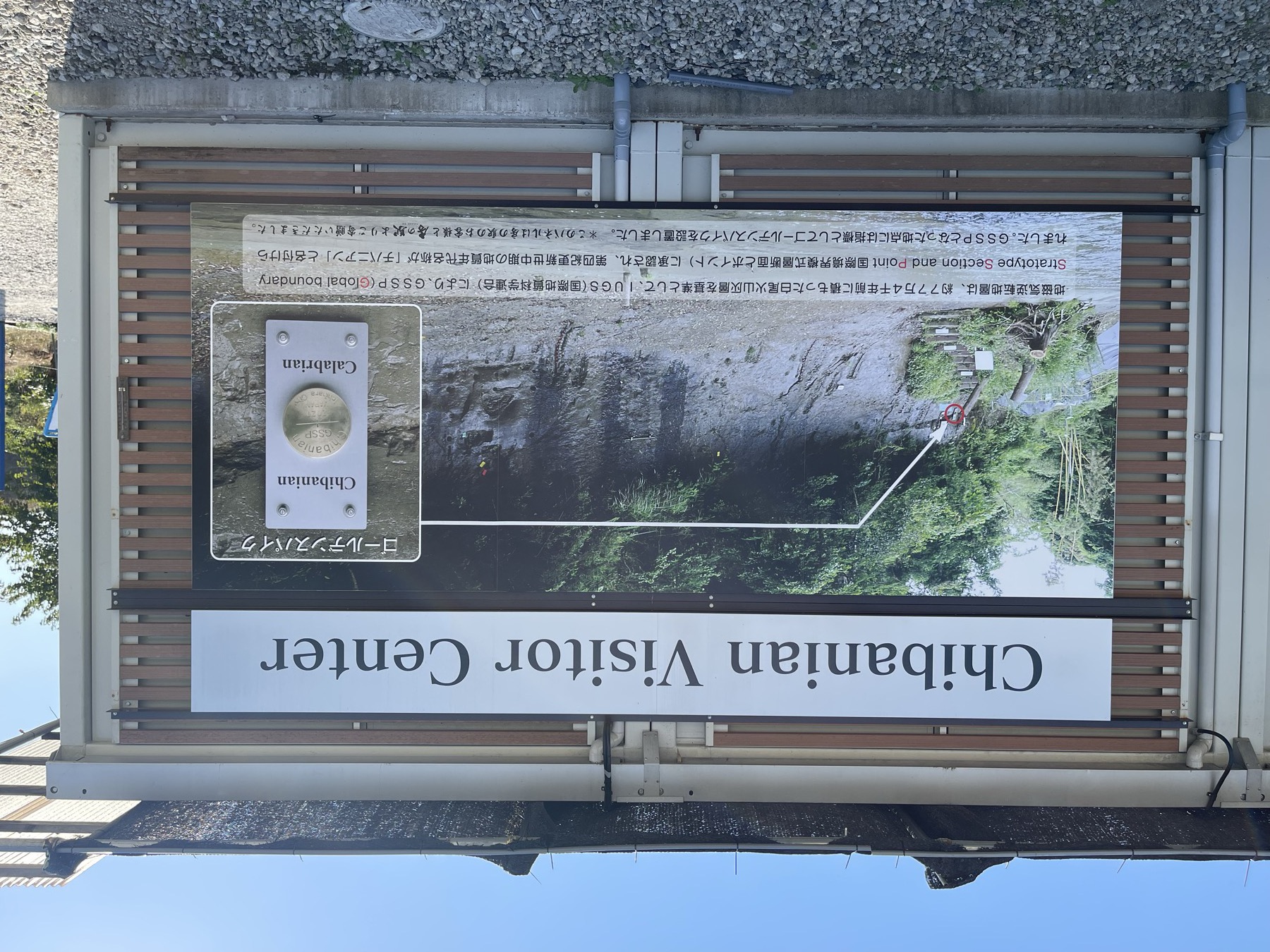
What "Chibanian" is
Chibanian is the name of a newly defined geological age set within the Calabrian (Late Pleistocene). It corresponds to the layers from about 774,000 to 129,000 years ago.
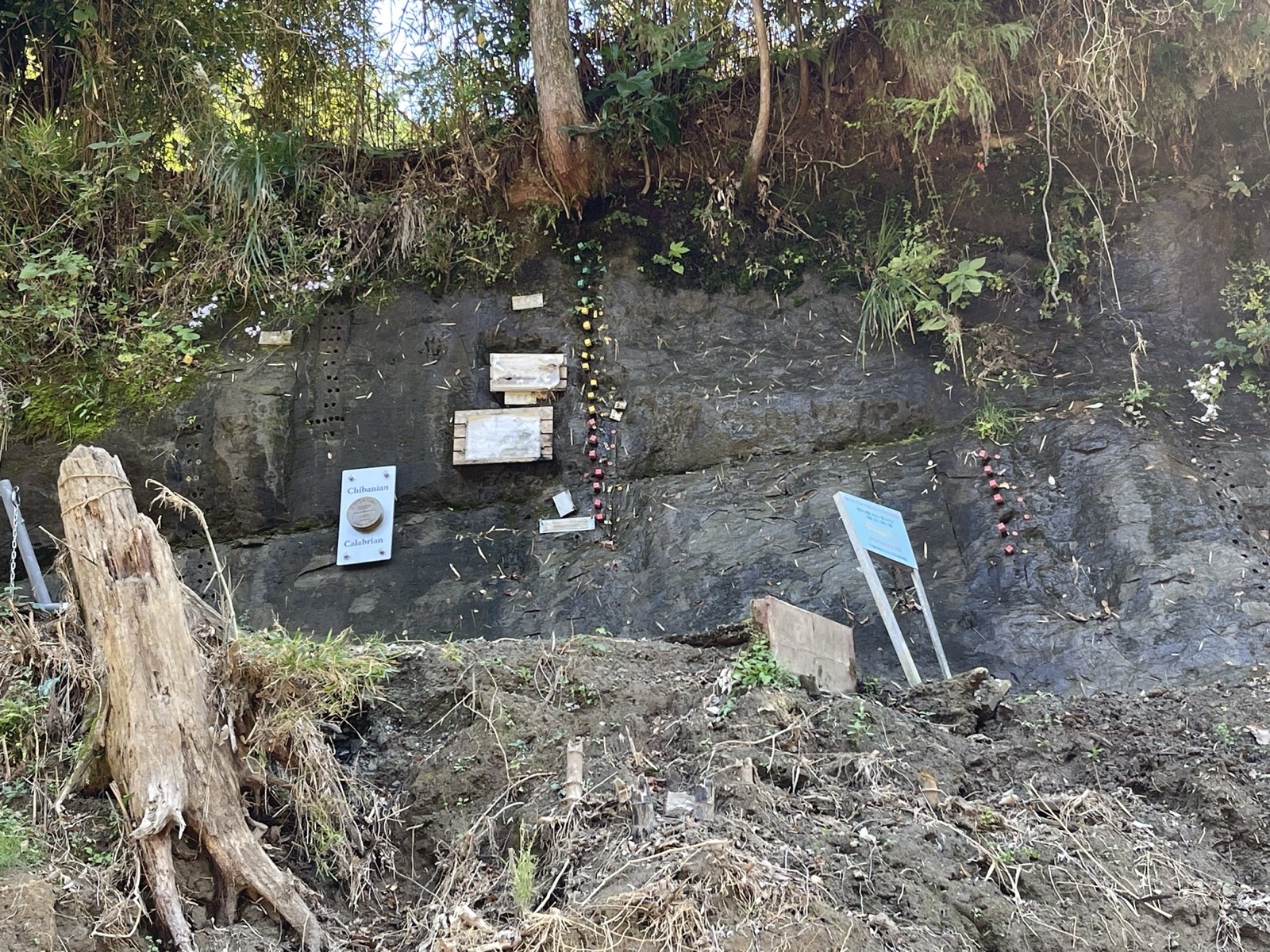
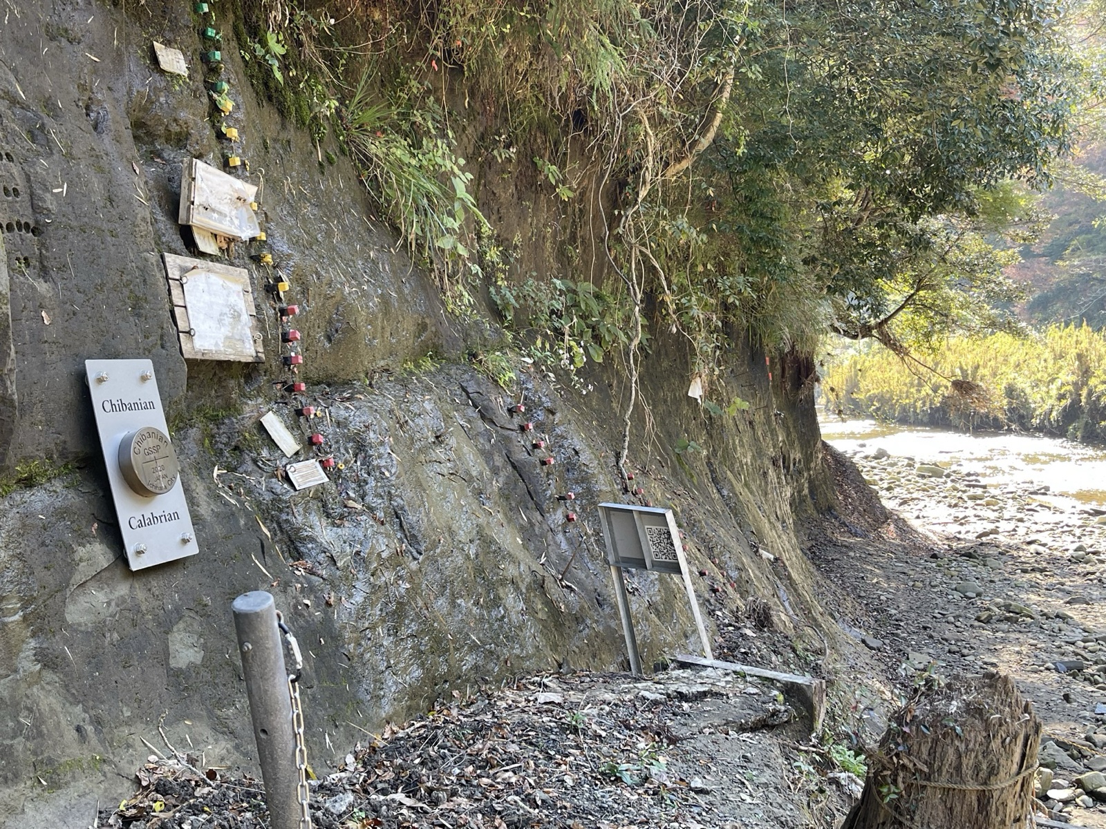
Why Chiba? Because the outcrop called "Chiba section" in Tabuchi, Ichihara, is the layer that records this age in the cleanest form globally. Inside the layer, the trace of the magnetic field flipping (north and south swapping places) is preserved with striking clarity.
A short walk along the river path takes you to where you can stand in front of the explanation board. To be honest, the cliff just looks like a cliff. But knowing 70,000 years of records are stacked there gives the view something hard to put into words.
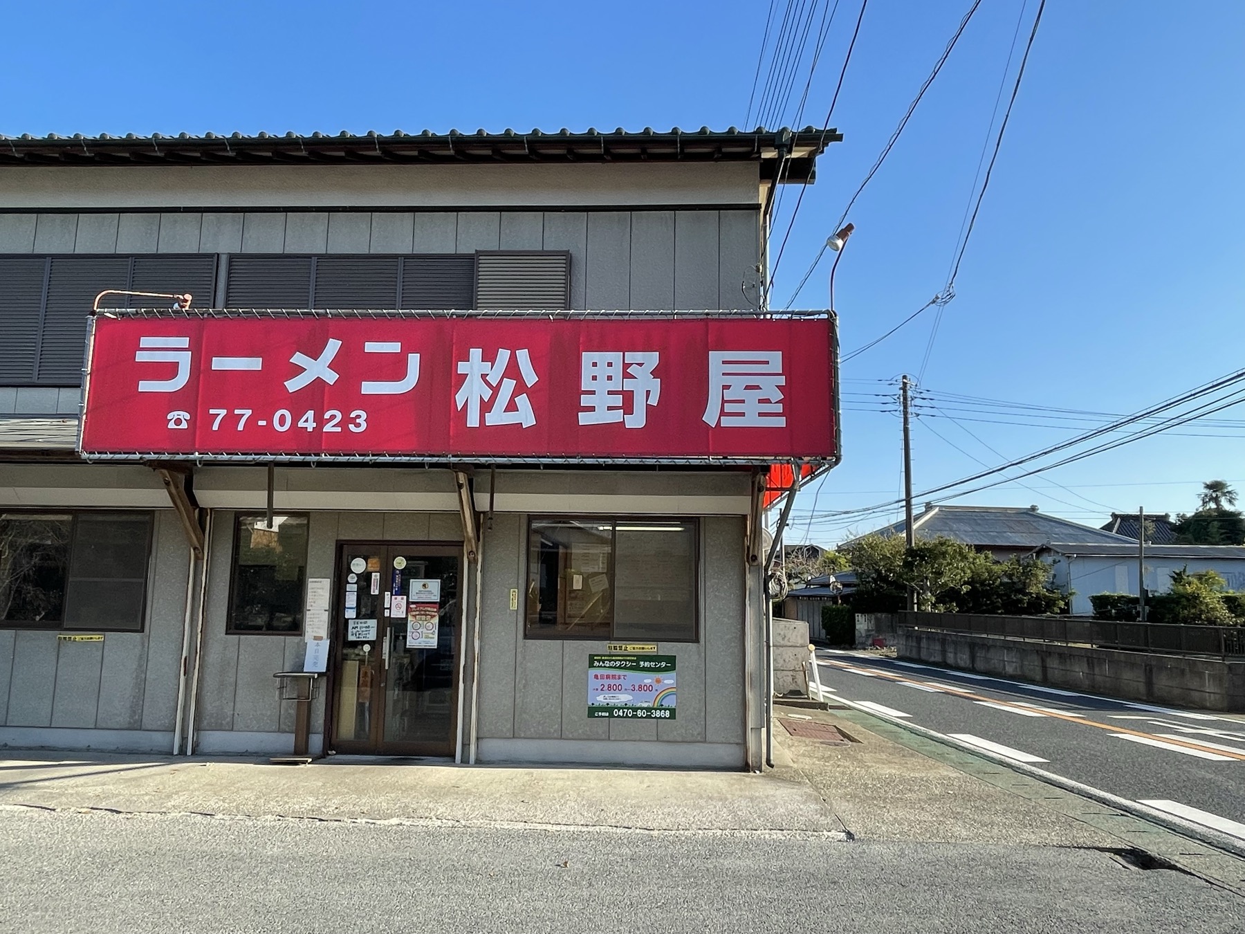
Ramen on the way back
On the way back from Chibanian, I stopped in at a place nearby called Ramen Matsunoya. Well-worn exterior, full of locals.

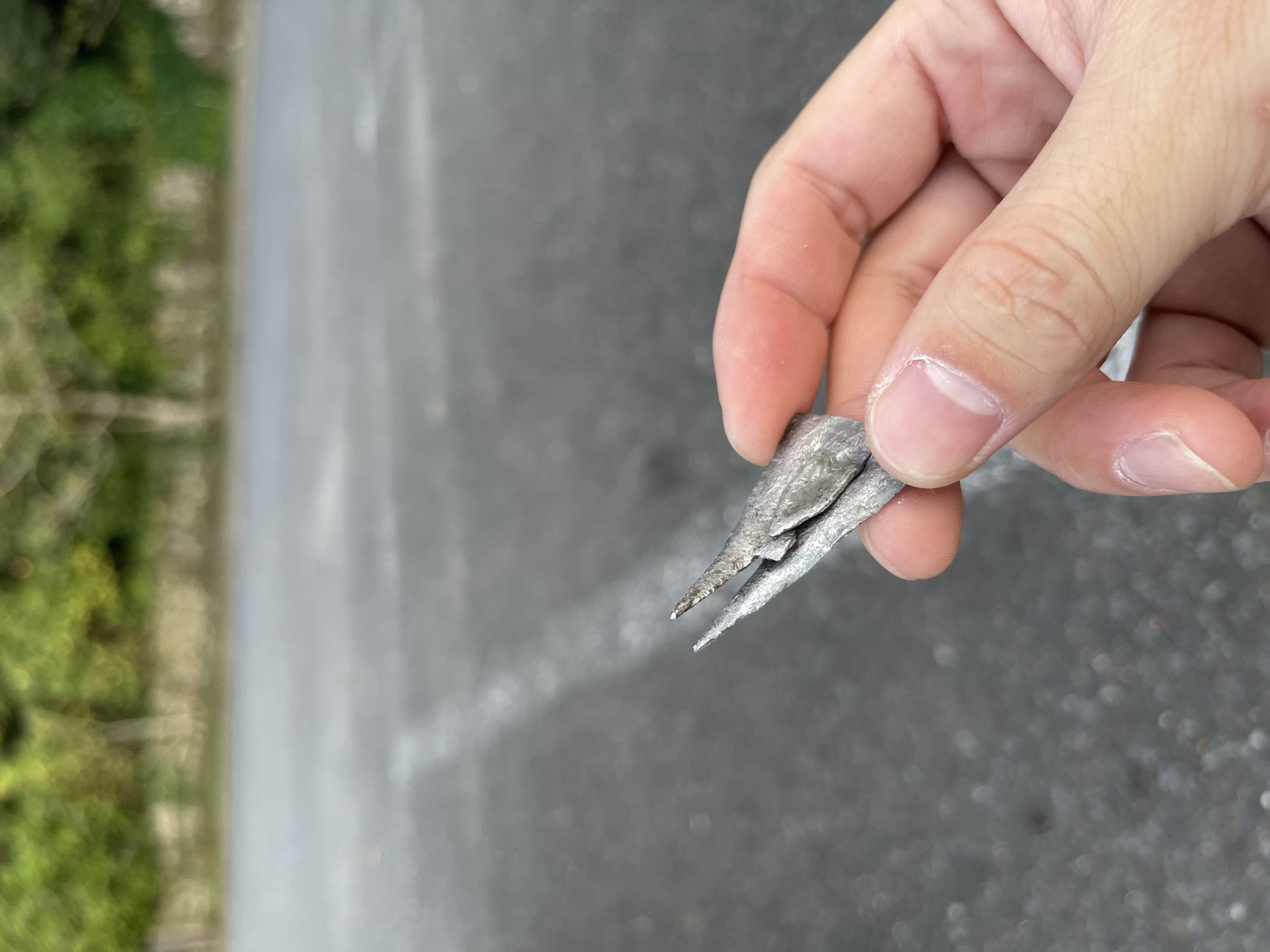
The bike had its own trouble
On the way back, something felt off in the rear tire. The way it rode shifted, just slightly. I stopped to check, and there was something thin sticking into the rear tire.
Not long after that, the engine warning light came on. That one got my pulse up — engine trouble in the middle of the mountains is no joke.
How it ended: the warning light was just a sensor reacting briefly while riding, no actual problem with running. The thing in the tire turned out not to be deep enough to leak air either, and I made it home normally. Took the bike to the shop the next day; everything checked out.
Nobody who hasn't had it happen really knows the spike of "alone, in the mountains, with the warning light on."
Chibanian, at first sight, is just a cliff. But reading the explanation while looking at it makes it interesting. The walking path is well kept too — a small, satisfying destination for a half-day on the bike. Mind the boars, though.
Travel guide (general info)
※ This section combines public information with the author's notes; please confirm the latest road, weather, and operating details on the official sites.
What "Chibanian" is
- Meaning: the international name of the Middle Pleistocene geological age (about 774,000–129,000 years ago). The name means "the age of Chiba".
- Designation: in January 2020 the International Union of Geological Sciences (IUGS) certified the Chiba Section (Tabuchi, Ichihara) as the Global Boundary Stratotype Section and Point (GSSP).
- Scientific significance: the world's most continuous record of the Matuyama–Brunhes geomagnetic reversal, about 770,000 years ago.
- National Natural Monument: the "Chiba Section" was designated in 2018.
Visiting tips
- Location: Tabuchi, Ichihara, Chiba — an outcrop along the Yōrō River. About 10 min on a footpath from a small road.
- Entry: free. Parking and a visitor centre (Chibanian Visitor Center) on site.
- Display: a gold marker (the Golden Spike equivalent) marking the boundary, plus interpretive panels.
- Time needed: 30–60 min including the visitor centre.
Access & precautions
- By car: about 20 min from Ichihara-Tsurumai IC (Ken'ō Expressway). The local road is narrow with few passing places.
- By rail: about 30 min on foot from Tsukizaki Station (Kominato Line) — bike or car recommended.
- Floods: the footpath may close when the Yōrō River runs high.
- Wildlife: boars, Reeves's muntjac, and macaques are reported in the southern Ichihara hills.